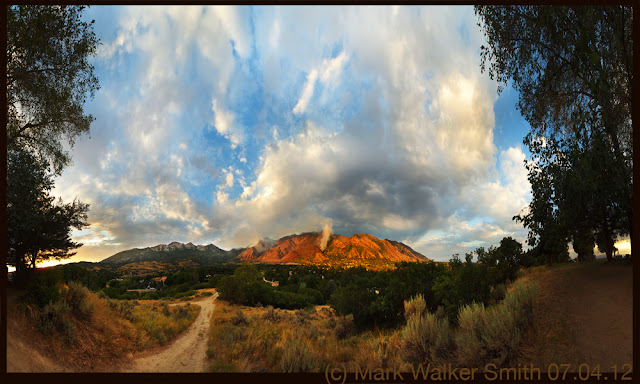
...mostly photographs, some other pictures and words, with occassional geographical historical articles. focused primarly on the mountain spaces near Alpine, UT, The Lone Peak Wilderness and American Fork Canyon.
Tuesday, September 4, 2012
Saturday, September 1, 2012
Friday, August 31, 2012
Thursday, August 30, 2012
Tuesday, August 28, 2012
Sunday, August 26, 2012
3 Views from alongside a 3 mile block of 3 highways.
 |
| From 11000 North in Highland Utah. Timpanogos Hwy. (incidentally the road that goes up AF Canyon from Highland must have a half dozen or so different names already.) |
 |
| On 4800 West in Highland or south Canyon Crest Road Alpine, Several yards south of city border. Sunflowers with the mouth of American Fork Canyon in Background. |
Along Three Mines Trail
 |
| This is just a little ways up the Three Mines Trail. There is a lot of new Gambol Oak shooting up from the roots since the fire. |
 |
| This is the original 360 degree view, with the reverse polar coordinates version above. The Globe effect is fun but the more I do of these the more I find myself liking the original view. |
Saturday, August 25, 2012
Saturday, July 21, 2012
07.21.12 Quail Fire Before and After
Wednesday, July 11, 2012
Wednesday, July 4, 2012
Tuesday, July 3, 2012
Sunday, July 1, 2012
Friday, June 22, 2012
Thursday, June 21, 2012
06.21.12 Hike with Chloe.
Chloe and I left from Swinging Bridge Campground. Stayed to left and went up smaller steeper canyon west of Swinging Bridge. By staying left and after some pretty rough scrambling we managed to cross over into Preston Canyon. From there hiked down to Alpine and called Grandpa Dennis for a ride back up AF Canyon to fetch car.
 |
| Near the top American Fork Canyon in Background. |
Saturday, June 16, 2012
Sunday, June 10, 2012
Monday, April 30, 2012
Sunday, January 29, 2012
Saturday, January 28, 2012
January 28, 2012 Mount Timpanogos Temple
I would be curious to hear what people think of this picture also if you have any suggestions for a title. Click on Comments below.
Friday, January 13, 2012
Wednesday, January 11, 2012
Tuesday, January 10, 2012
Sunday, January 8, 2012
Project, Alpine Mountain top Viewer.
This is a project which you might find fun. You will need a way of printing these two images. You may use the jpegs right off this page or download this PDF.
Good Luck, Let me know how this works for you.
Good Luck, Let me know how this works for you.
Subscribe to:
Comments (Atom)


